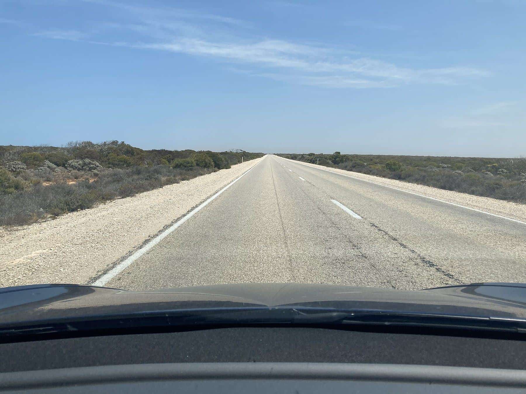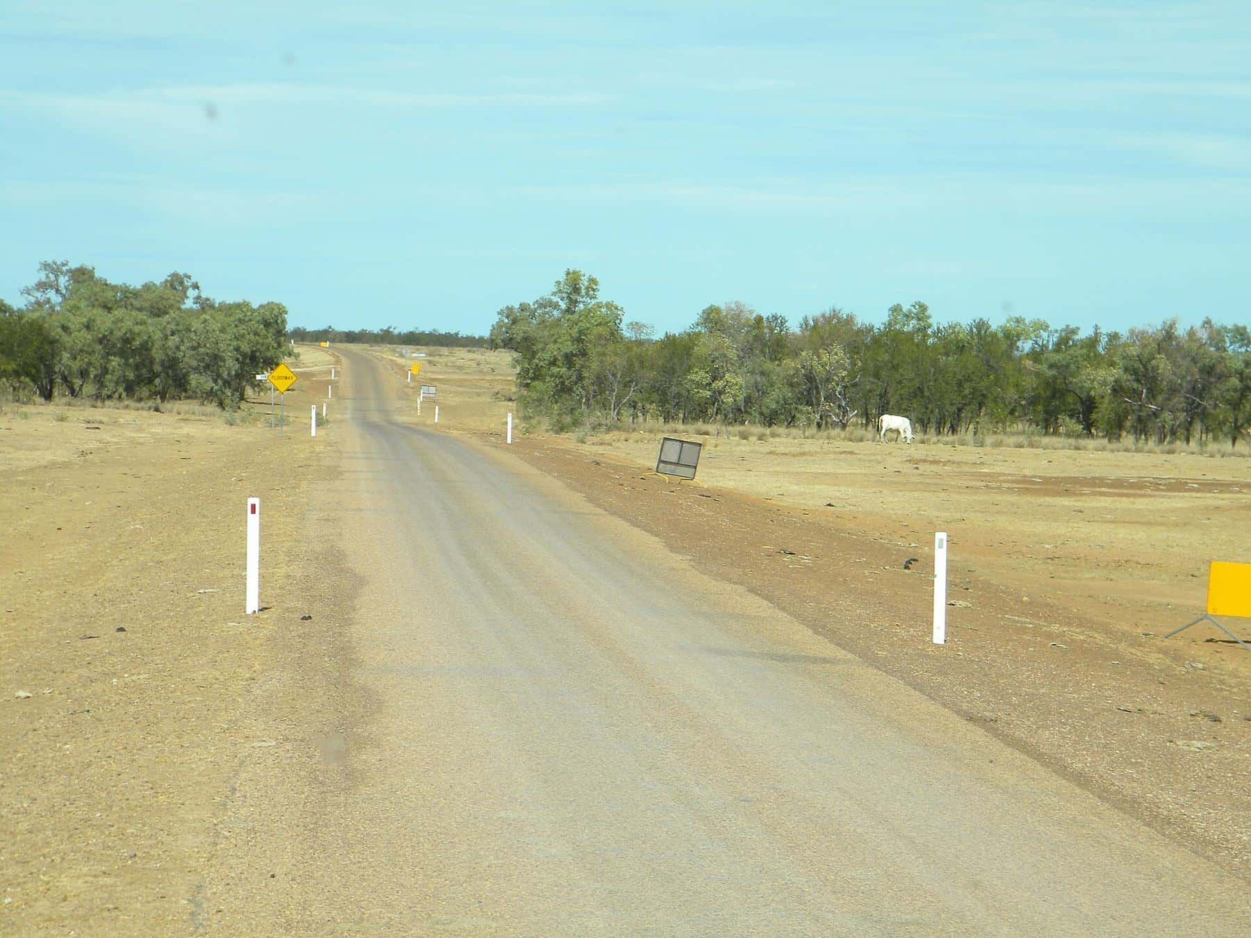
The Savannah Way is a promoted self-drive route across northern Australia, running about 3,500 kilometres from Cairns in Queensland to Broome in Western Australia. It links Normanton, Borroloola, Katherine, Kununurra, Fitzroy Crossing and Derby, crossing three states and territories and some of the most remote country in Australia. Much of the route follows Highway 1, but some sections are unsealed.
~3,500 km
Length
Cairns to Broome
3
States and territories
QLD, NT, WA
May–Oct
Best months
Dry season
Mixed
Surface
Sealed and unsealed
When to go
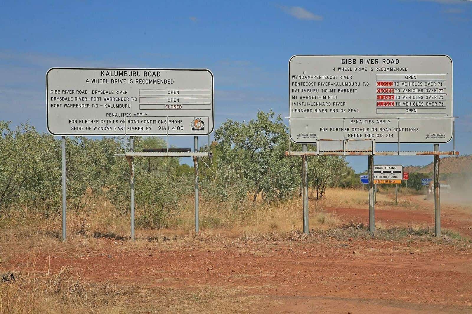
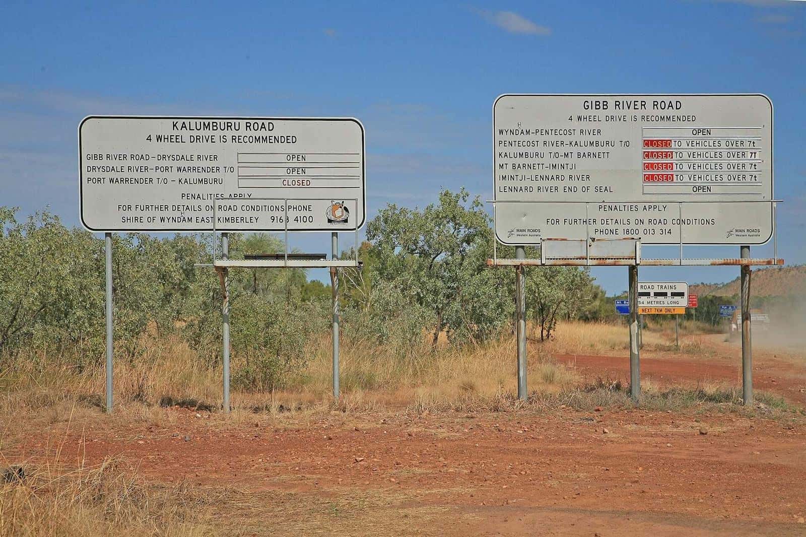
The dry season, roughly May to October, is the only practical time for most travellers. The wet season brings floods, closed roads and cyclone risk. Even in the dry, check road reports for each state, as conditions change.
Route overview
Queensland: Cairns to the Gulf
From Cairns, the route climbs to the Atherton Tablelands and heads west through the savannah to Normanton and the Gulf of Carpentaria. Alternative routes lead via Chillagoe and Karumba, or to Boodjamulla (Lawn Hill) National Park with its emerald gorge.
Northern Territory: the Gulf to Katherine
The section from the Queensland border to Borroloola and on to the Stuart Highway is among the most remote and includes unsealed roads and river crossings. Katherine, with Nitmiluk National Park and its gorges, is a major stop.
Western Australia: Kununurra to Broome
From Katherine, the route continues to Timber Creek and Kununurra. From there travellers can follow the sealed Great Northern Highway through Halls Creek and Fitzroy Crossing, or take the Gibb River Road through the Kimberley to Derby, before finishing in Broome.
Vehicle needs
Sealed sections suit 2WD vehicles, but the unsealed sections, river crossings and side trips need a high-clearance 4WD. Check whether your hire agreement allows the route.
Highlights
- The Atherton Tablelands: waterfalls and crater lakes.
- Boodjamulla (Lawn Hill) National Park: a gorge with emerald waters and canoeing.
- The Gulf of Carpentaria: fishing towns and wetlands.
- Nitmiluk National Park: gorges near Katherine.
- Lake Argyle and Kununurra: water and ranges in the east Kimberley.
- The Kimberley: gorges, the Bungle Bungles nearby and Broome's beaches.
Fuel and supplies
Distances between fuel stops can be long, especially in the Gulf country. Fill up wherever possible and carry extra water and food. Remote roadhouses may have limited hours and supplies.
Crocodiles
Saltwater crocodiles live in rivers, estuaries and coastal waters across northern Australia, and freshwater crocodiles in many inland waterways. Never swim where crocodiles may be present, and camp well back from the water's edge.
Quarantine
There are quarantine checks entering Western Australia from the Northern Territory. Check the rules on fruit, vegetables and plant material before you reach the border.
Safety and communications
Mobile coverage is limited outside towns. Carry a PLB or satellite communicator, tell someone your plans and check in when you reach each town. Read remote travel safety.
Savannah Way checklist
0 of 6 done
Ticks are saved in this browser only.
Time needed
Allow at least three to four weeks for the full route with side trips. Many travellers do one section at a time across several trips.
The Gulf country
The section around the Gulf of Carpentaria is among the most remote in Australia, with small towns, wetlands, fishing and wide open savannah. Normanton, Karumba, Burketown and Borroloola each offer fuel and supplies, but distances between them are long. Karumba is known for its fishing and sunsets over the Gulf. Burketown is famous for the Morning Glory, a rare roll cloud that sometimes forms in spring.
Camping and accommodation
Accommodation along the way ranges from town motels and caravan parks to national park campgrounds and station stays. In the peak of the dry season, popular campgrounds can fill, so book where possible. Some remote campgrounds have only basic facilities, so be self-sufficient with water and supplies.
Fishing
Barramundi fishing is a highlight for many travellers. Fishing rules, including size and bag limits and closed seasons, differ by state. Check the rules for Queensland, the Northern Territory and Western Australia, and never fish where crocodiles make it unsafe to stand at the water's edge.
Taking it slow
Many travellers say the best way to enjoy the Savannah Way is slowly, stopping for a few days at places that catch your eye. The route is long, and rushing increases the risk of fatigue and missed experiences.
Before you go
Check road reports for Queensland, the Northern Territory and Western Australia, along with park alerts and fishing rules. Conditions change quickly early and late in the dry season, so check again at each major town.
Frequently asked questions
Where does the Savannah Way start?
It runs between Cairns in Queensland and Broome in Western Australia, and can be driven in either direction.
Are there crocodiles along the Savannah Way?
Yes. Saltwater and freshwater crocodiles live in many waterways. Never swim where crocodiles may be present and follow warning signs.
Can I do the Savannah Way in a 2WD?
Some sections are sealed, and sealed alternatives exist for parts of the route, but the full route and many side trips need a 4WD.
How long is the Savannah Way?
About 3,500 km between Cairns in Queensland and Broome in Western Australia, depending on the route options chosen.
How long does the Savannah Way take?
Most travellers allow several weeks. Rushing it means missing the national parks and side trips.
Is the Savannah Way sealed?
Partly. Much of it follows sealed highways, but some sections are unsealed. Sealed alternatives exist for some parts.
When should I drive the Savannah Way?
In the dry season, roughly May to October. Many sections flood or close during the wet.
Which towns does the Savannah Way pass?
Key towns include Cairns, Normanton, Borroloola, Katherine, Kununurra, Fitzroy Crossing, Derby and Broome.
Sources and further reading
Facts on this page were checked against these primary and official sources. Conditions change — confirm before you travel or buy.
- Savannah Way — Wikipedia
- QLDTraffic — Queensland Government
- Road report — Northern Territory Government
- Road conditions — Main Roads Western Australia
- Boodjamulla National Park — Queensland Parks and Wildlife Service