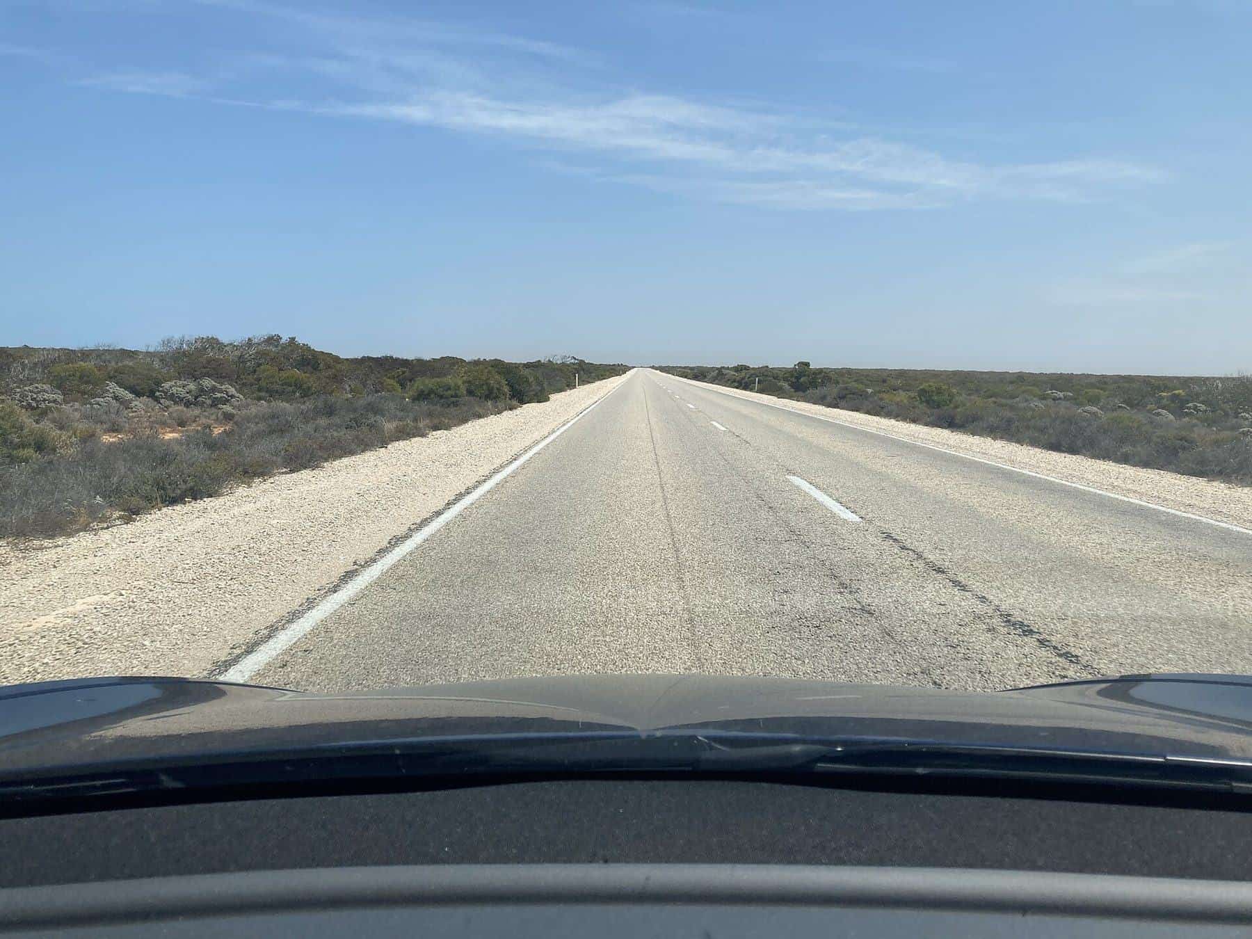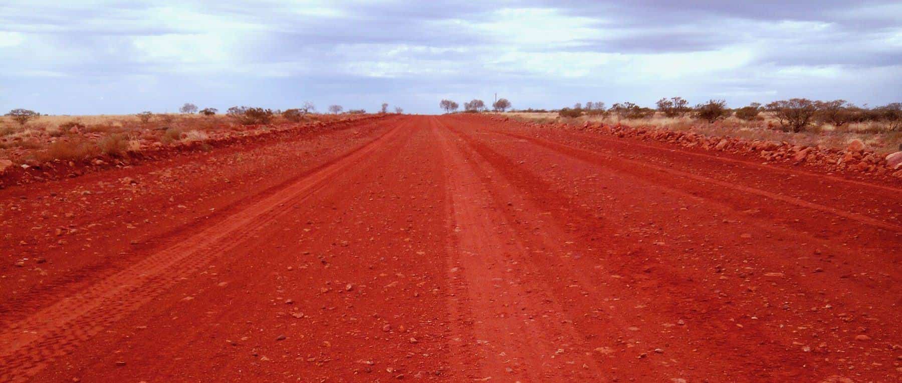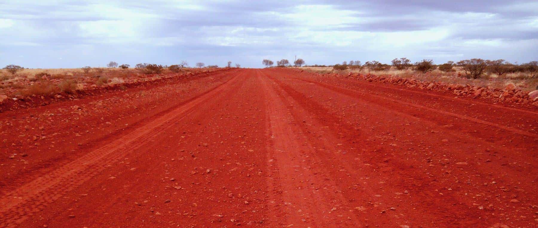
The Oodnadatta Track is an unsealed outback road of about 614 kilometres between Marree and Marla in far north South Australia. It passes the settlements of William Creek and Oodnadatta, skirts the southern lake of Kati Thanda-Lake Eyre and links a chain of artesian mound springs. For much of the way it follows the line of the old Ghan railway, and before that, Aboriginal trade routes connecting the springs.
614 km
Length
Marree to Marla
Unsealed
Surface
High clearance needed
Apr–Oct
Best months
Cooler weather
Closes
After rain
Check road warnings
History
The springs along the track supported Aboriginal people for thousands of years and formed part of extensive trade routes. In the 1870s the Overland Telegraph line followed the springs, and later the Central Australian Railway, the original Ghan, was built along the same route. The railway was replaced by a new line further west in 1980, and today ruined sidings, bridges and fettlers' cottages line the track.
Route overview
- Marree: the traditional starting point, where the track meets the Birdsville Track.
- Lake Eyre South lookouts: views over the salt lake.
- Wabma Kadarbu Mound Springs: Blanche Cup and The Bubbler.
- Coward Springs: a historic railway siding with springs.
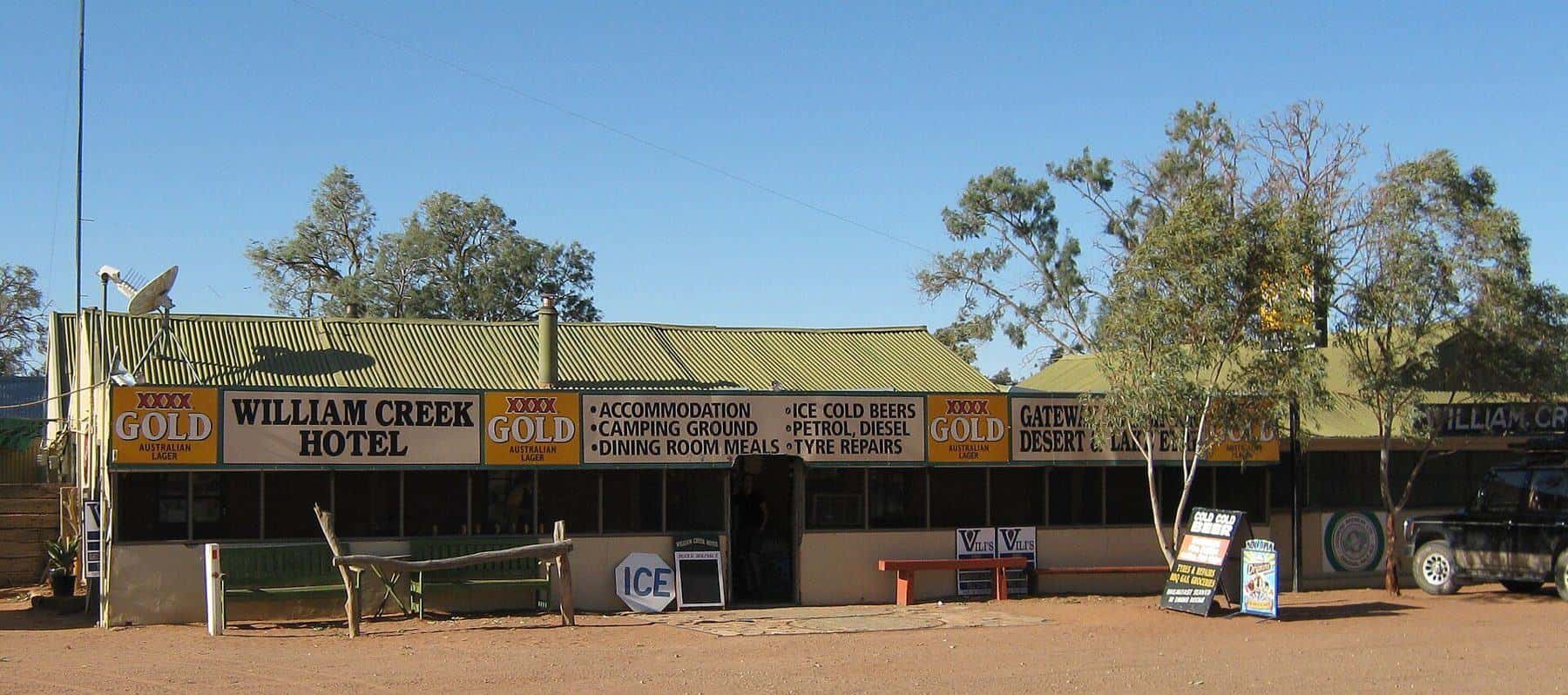
- William Creek: a tiny settlement and base for scenic flights over Kati Thanda-Lake Eyre.
- Oodnadatta: a small town with an outback roadhouse and history.
- Marla: where the track meets the Stuart Highway.
Kati Thanda-Lake Eyre
Kati Thanda-Lake Eyre is Australia's largest salt lake and the lowest point in the country. It is usually a vast dry salt pan but occasionally fills after heavy rain in Queensland's catchments, attracting huge numbers of birds. Scenic flights from William Creek and other towns are the best way to appreciate its scale. Park entry and camping fees may apply in desert parks.
The mound springs
The mound springs are natural outlets of the Great Artesian Basin. Minerals deposited by the water build up mounds over time, creating small wetlands that support unique plants and animals. They are fragile and culturally significant. Stay on boardwalks and paths, and do not swim in or disturb the springs.
When to go
The cooler months from about April to October are best. Summer temperatures can be extreme, and heavy rain at any time can close the track for days. Check the Outback Road Warnings before setting out and before each stage.
Vehicle and preparation
- A high-clearance 4WD is recommended.
- Carry two spare tyres and the tools to change them.
- Reduce tyre pressures appropriately for corrugations, and reinflate on sealed roads.
- Carry plenty of water, food and fuel.
- Carry a PLB or satellite communicator.
- Know how far it is to the next fuel stop.
Road closures
The track can close after rain. Driving on closed roads is illegal in South Australia and can bring heavy fines, as well as damaging the road. If rain falls while you are on the track, stop in a safe place and wait.
Camping
Camping is available at roadhouses, Coward Springs and in some parks. Follow park rules and fees. Take your rubbish with you and camp away from springs and creek beds.
Combining with other routes
The Oodnadatta Track can be combined with the Birdsville Track, the Flinders Ranges to the south, or the Stuart Highway to Coober Pedy, Uluru and Alice Springs. Read the Flinders Ranges.
Safety
Read remote travel safety before you go. Key points: carry water, stay with your vehicle if it breaks down, and tell someone your plans.
Oodnadatta Track checklist
0 of 6 done
Ticks are saved in this browser only.
Suggested itinerary
- Day 1: Marree to Coward Springs, via Lake Eyre South and the mound springs.
- Day 2: Coward Springs to William Creek, with a scenic flight over the lake if conditions allow.
- Day 3: William Creek to Oodnadatta.
- Day 4: Oodnadatta to Marla and the Stuart Highway.
Art and oddities
The track has its share of outback surprises. Near Marree, the Marree Man, a giant figure etched into the plateau in 1998, is visible only from the air and has faded over time. The Mutonia Sculpture Park near Alberrie Creek features large artworks made from recycled materials, including aircraft. These quirks are part of the track's character.
Before you go
Check the Outback Road Warnings on the morning you leave and at each stop. Rain hundreds of kilometres away can close sections of the track, and closures can last days.
Frequently asked questions
How long does the Oodnadatta Track take?
Allow at least three to four days to enjoy the springs, lake lookouts and towns along the way.
Is there fuel on the Oodnadatta Track?
Fuel is available at Marree, William Creek, Oodnadatta and Marla, but check opening hours and plan for long distances.
How long is the Oodnadatta Track?
About 614 km, running between Marree and Marla in South Australia, via William Creek and Oodnadatta.
Do I need a 4WD for the Oodnadatta Track?
A high-clearance vehicle is needed and a 4WD is recommended. In good conditions some 2WD vehicles complete it, but conditions change quickly, and many hire agreements prohibit unsealed roads.
Is the Oodnadatta Track open?
It is often closed after rain. Check the South Australian Outback Road Warnings before you go.
Can I see Lake Eyre from the Oodnadatta Track?
Yes. The track passes the southern part of Kati Thanda-Lake Eyre, with lookouts. The lake is usually dry and fills only after major rains.
What are mound springs?
Natural springs fed by the Great Artesian Basin, which create small mounds and wetlands in the desert. Wabma Kadarbu Mound Springs Conservation Park, with Blanche Cup and The Bubbler, is near the track.
Sources and further reading
Facts on this page were checked against these primary and official sources. Conditions change — confirm before you travel or buy.
- Oodnadatta Track — Wikipedia
- Outback road warnings — South Australian Department for Infrastructure and Transport
- Kati Thanda-Lake Eyre National Park — National Parks and Wildlife Service South Australia
- Desert parks — National Parks and Wildlife Service South Australia
- Outback travel — South Australian Tourism Commission