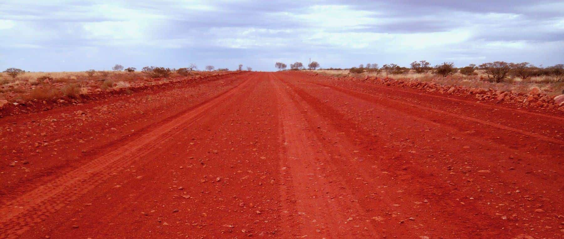
The Flinders Ranges rise from the plains about 200 kilometres north of Adelaide and run for more than 430 kilometres towards Lake Callabonna. They are the Country of the Adnyamathanha people, who have lived here for tens of thousands of years. With colourful gorges, ancient rocks, abundant wildlife and big skies, they reward visitors who give them time.
430+ km
Length
Port Pirie to Lake Callabonna
80 km²
Wilpena Pound
Ikara
1,171 m
St Mary Peak
Highest point
Apr–Oct
Best months
Cooler weather
Wilpena Pound (Ikara)
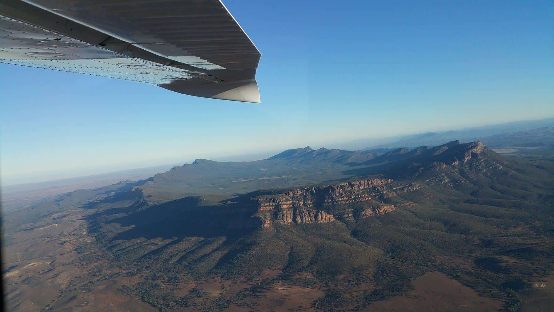
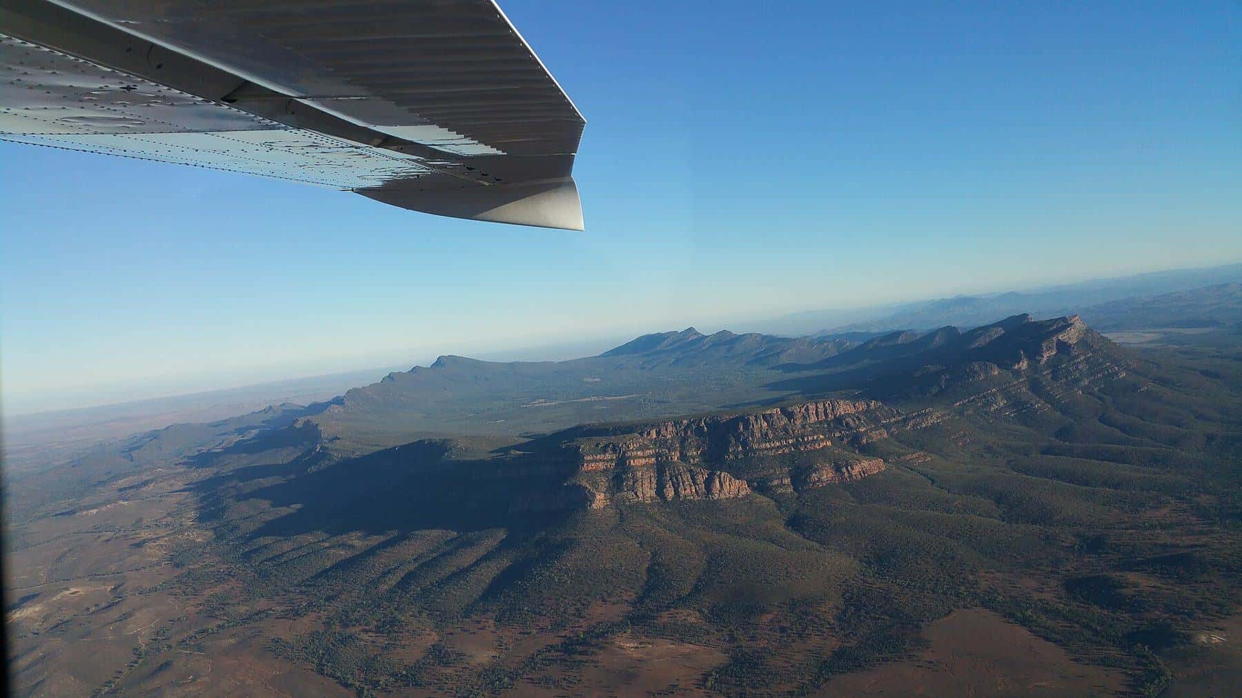
Wilpena Pound is a natural amphitheatre of mountains covering about 80 square kilometres. For the Adnyamathanha people it is Ikara, a place of great cultural significance. Walks lead into and around the pound, and scenic flights reveal its shape. The Wilpena Pound visitor area is the main base for the Ikara-Flinders Ranges National Park.
Ancient life
The Flinders Ranges hold a record of "the dawn of animal life". The Ediacaran Period, a division of geological time, is named after the Ediacara Hills in the ranges, where fossils of some of the earliest complex animals were found. Sites in the ranges have been nominated for World Heritage listing for this significance.
Brachina Gorge
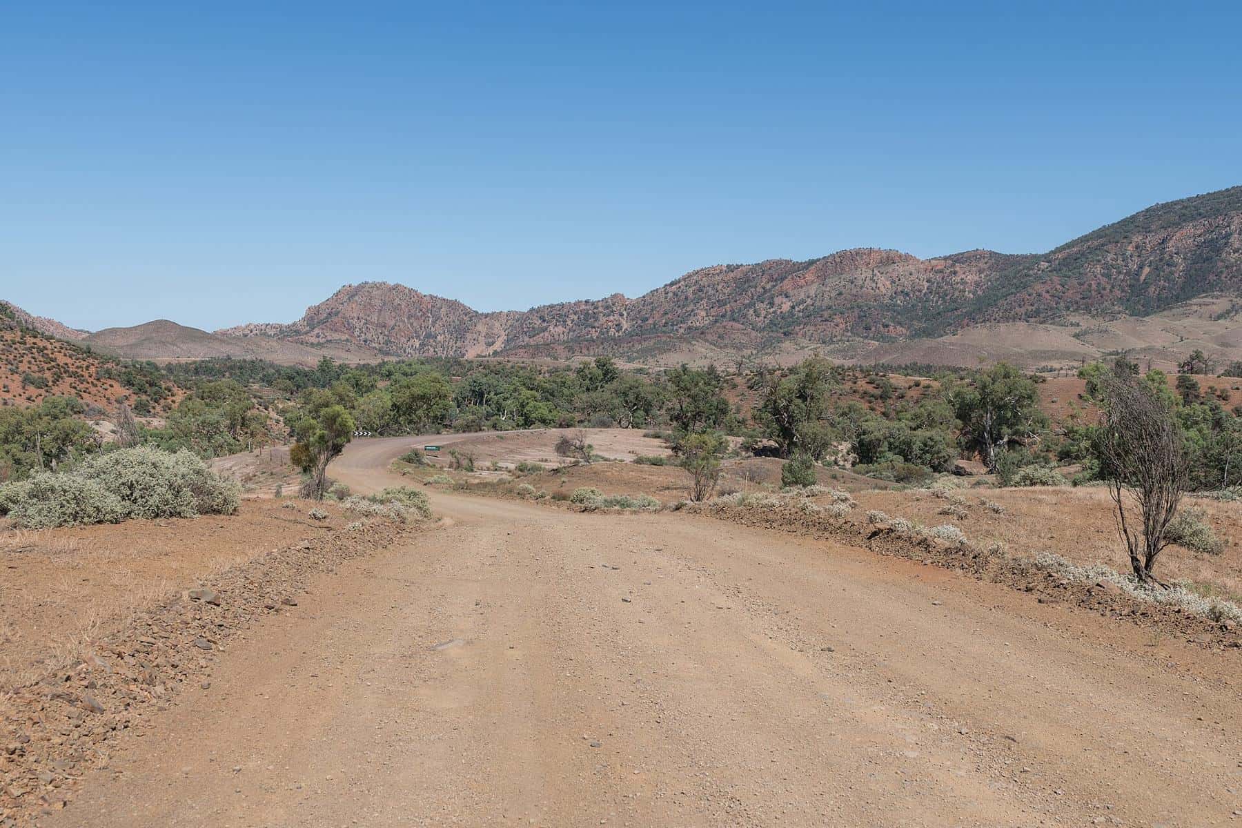
The Brachina Gorge geological trail follows an unsealed road through layers of rock representing a vast span of Earth's history, with signs explaining each layer. Look out for yellow-footed rock-wallabies on the cliffs.
Walks
- Wilpena Pound walks: a range of walks into the pound and to lookouts.
- St Mary Peak: a challenging climb to the highest point of the ranges. Out of respect for Adnyamathanha culture, visitors are encouraged to consider walking to Tanderra Saddle rather than the summit.
- The Heysen Trail: a long-distance walking trail that runs through the ranges to the Fleurieu Peninsula.
Check park alerts for closures and fire danger before walking.
Wildlife
Red kangaroos, euros, emus, wedge-tailed eagles and the threatened yellow-footed rock-wallaby are among the animals you may see. Wildlife is most active at dawn and dusk, which is also when animals are a hazard on the roads.
Adnyamathanha culture
Cultural tours and sites offer insights into Adnyamathanha culture, stories and history. Respect signs and requests about sacred sites.
Getting there
From Adelaide, drive north via Port Augusta or the Clare Valley. The main roads to Wilpena are sealed, while many roads within the ranges are unsealed. Check road conditions after rain.
Where to stay
Options include the Wilpena Pound resort and campground, station stays, and towns such as Hawker, Quorn and Blinman. Book ahead in the cooler months and school holidays.
Combining your trip
The Flinders Ranges combine well with the Oodnadatta Track, the Birdsville Track or a trip to Kati Thanda-Lake Eyre. Read the Oodnadatta Track.
Night skies
Far from city lights, the ranges have superb night skies. Read night sky photography.
Flinders Ranges checklist
0 of 6 done
Ticks are saved in this browser only.
Suggested itinerary
- Day 1: Drive from Adelaide to Wilpena via Hawker.
- Day 2: Walk in Wilpena Pound and visit lookouts.
- Day 3: Drive the Brachina Gorge geological trail.
- Day 4: Explore Blinman, Parachilna Gorge and the northern ranges.
Towns of the Flinders
The ranges are dotted with small towns, each with its own character. Quorn is known for its heritage streetscape and the Pichi Richi Railway, which runs historic trains on part of the old Ghan line. Hawker is the gateway to Wilpena, with fuel, supplies and accommodation. Blinman, in the northern ranges, grew around a copper mine and offers mine tours. Parachilna sits on the western edge of the ranges near the gorge of the same name. Further north, Arkaroola is a wilderness sanctuary known for rugged scenery and astronomy.
Scenic drives
Several scenic drives explore the ranges by car. The Moralana Scenic Drive runs along the southern side of Wilpena Pound with views of its outer walls. The Bunyeroo Valley and Brachina Gorge roads link up to make a classic loop through the heart of the national park. Many of these roads are unsealed and can close after rain, so check conditions before you set out and drive slowly to watch for wildlife.
Photography
The ranges are famous for their colours, especially at sunrise and sunset, when the rock glows red and gold. River red gums along dry creek beds, wildflowers after rain and the vast plains beyond the ranges all make striking images. The dark skies are ideal for astrophotography.
Practical information
Mobile coverage is limited in much of the ranges. Fuel is available in the main towns and at Wilpena, but distances can be long, so fill up when you can. Carry water on all walks, and tell someone your plans if you are heading off on remote tracks.
Before you go
Check park alerts, fire danger ratings and road conditions with the official sources before your trip, and again each day during hot or wet weather.
Frequently asked questions
Do I need a park pass for the Flinders Ranges?
Yes, park entry fees apply in Ikara-Flinders Ranges National Park. Buy a pass online from National Parks and Wildlife Service South Australia.
Where are the Flinders Ranges?
In South Australia. They begin about 200 km north of Adelaide and stretch for more than 430 km.
What is Wilpena Pound?
A natural amphitheatre of mountains covering about 80 square kilometres, known to the Adnyamathanha people as Ikara.
How high is St Mary Peak?
About 1,171 m, the highest peak in the Flinders Ranges.
When is the best time to visit the Flinders Ranges?
The cooler months from about April to October are best for walking. Summer can be very hot.
Are the Flinders Ranges World Heritage listed?
A nomination for sites in the Flinders Ranges has been lodged for World Heritage listing. Check UNESCO for the current status.
Sources and further reading
Facts on this page were checked against these primary and official sources. Conditions change — confirm before you travel or buy.
- Flinders Ranges — Wikipedia
- Ikara-Flinders Ranges National Park — National Parks and Wildlife Service South Australia
- Flinders Ranges World Heritage nomination — Government of South Australia
- Heysen Trail — Friends of the Heysen Trail