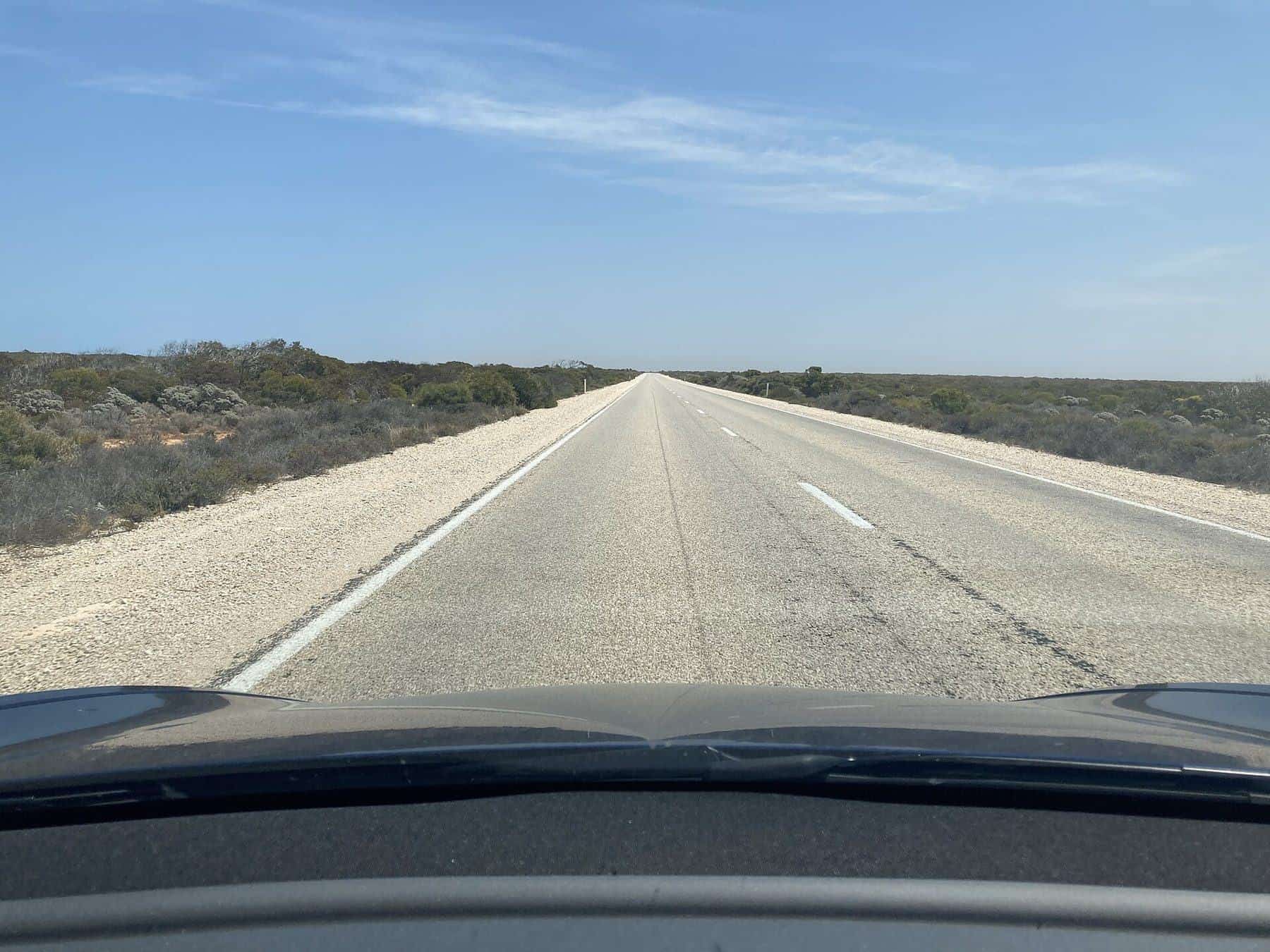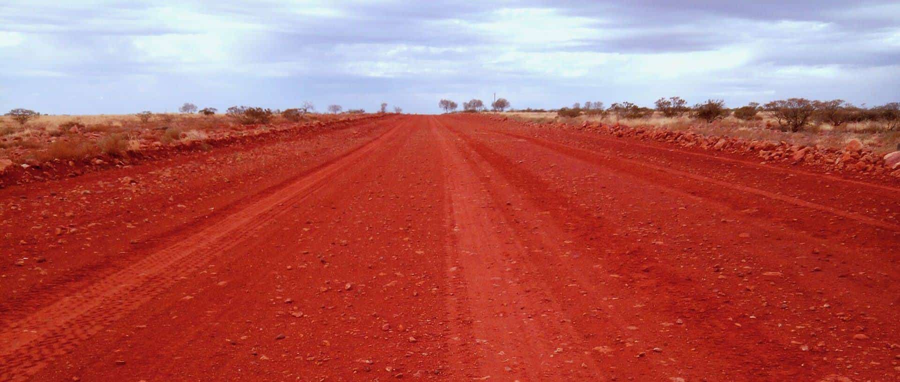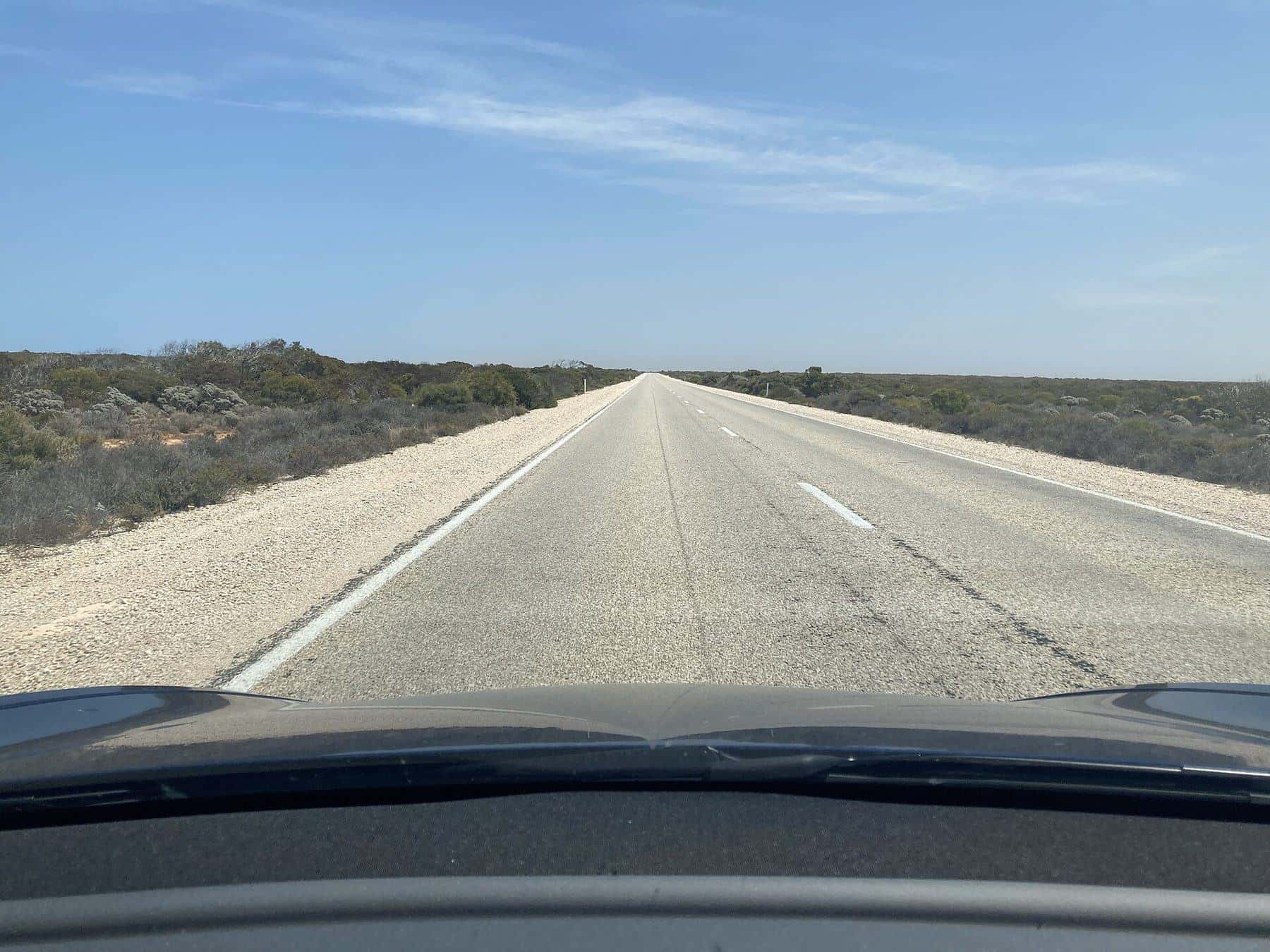
Driving across the Nullarbor is a rite of passage for many Australians. The Eyre Highway runs about 1,664 kilometres from Port Augusta in South Australia to Norseman in Western Australia, crossing the top of the Eyre Peninsula and then the great limestone plain along the Great Australian Bight. It is long, flat and in places astonishingly empty, but it also passes some of the most dramatic coastal scenery in the country.
1,664 km
Eyre Highway
Port Augusta to Norseman
1976
Fully sealed
2WD friendly
3–5 days
Typical crossing
With stops
200,000 km²
Nullarbor Plain
Approximate area
A short history
The highway is named after Edward John Eyre, the first European to cross the Nullarbor by land, in 1840–41. The East–West Telegraph line followed his route in the 1870s. A road was built in 1941–42 during the Second World War, but for decades it was little more than a rough track. Sealing began in 1960; the WA section was finished in 1969 and the SA section in 1976.
The landscape
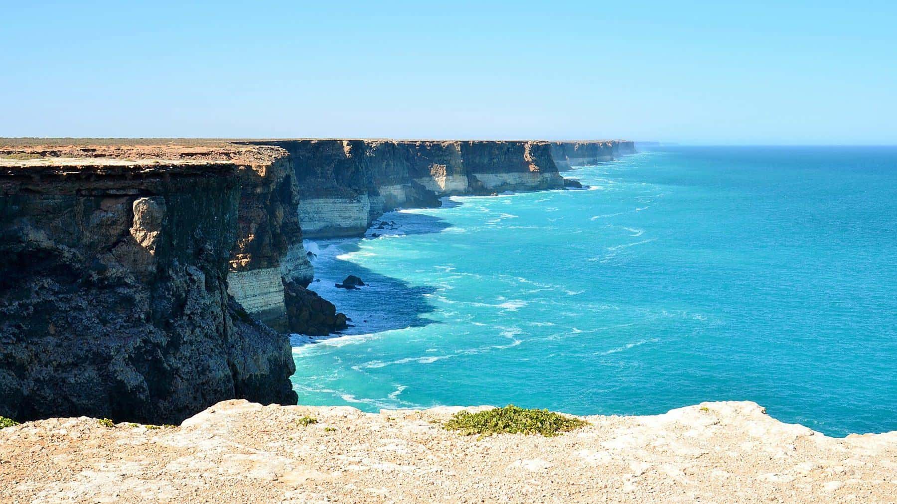
The Nullarbor Plain is the world's largest single exposure of limestone bedrock, covering around 200,000 square kilometres. Its name comes from the Latin for "no tree". Beneath the surface lie extensive cave systems. On the southern edge, the plain ends abruptly at the sea in the towering Bunda Cliffs.
Route overview
- Port Augusta to Ceduna: across the top of the Eyre Peninsula, through farming towns.
- Ceduna to the border: the last big town before the Nullarbor, then the Head of Bight and the Bunda Cliffs.
- The border to Norseman: through Eucla, then a long stretch that includes one of Australia's longest straight sections of road.
From Norseman, roads continue to Kalgoorlie, Esperance and Perth.
Highlights
The Bunda Cliffs
The cliffs drop dramatically into the Great Australian Bight and stretch for many kilometres. Several signposted lookouts sit just off the highway. Stay behind barriers: the cliff edges are unstable.
Head of Bight
The Head of Bight is one of the best places in Australia to see southern right whales, which visit the area in winter and spring to calve. A viewing platform overlooks the water. Check opening times and fees before you go.
Eucla
Near the border, Eucla has the sand-swamped ruins of the old telegraph station and views of the dunes and coast.
The long straight
Western Australia's section of the highway includes a famous straight stretch of road of about 146 km, often signposted as one of the longest straight roads in Australia.
Fuel and roadhouses
Roadhouses along the highway provide fuel, food, accommodation and camping. Distances between them can be large, so:
- Fill up at every opportunity.
- Expect fuel to cost more than in cities.
- Carry extra water and some food.
- Check opening hours, especially at night.
Quarantine and border rules
There are quarantine checkpoints for travellers entering Western Australia and South Australia, designed to keep out pests such as fruit fly. Many fresh fruits and vegetables, plants, seeds and honey are restricted. Check the current rules from each state's agriculture department before you go, and plan meals so you are not carrying restricted items at the checkpoints.
Time zones
You will change time zones crossing the border between South Australia and Western Australia. Some communities near the border use an unofficial local time. Keep this in mind when planning arrivals and roadhouse opening hours.
Driving safely
- Fatigue: take a break every two hours, and share the driving if you can.
- Road trains: give them room and overtake only with a long, clear view.
- Wildlife: kangaroos, emus, wombats and camels can be on the road, especially at dawn, dusk and night.
- Weather: crosswinds can be strong. Take care with caravans.
- Communications: mobile coverage is limited between towns and roadhouses.
Read our remote travel safety guide.
Camping on the Nullarbor
There are many free rest areas and roadhouse campgrounds. Follow signs, avoid camping near cliff edges, and respect fire restrictions.
Nullarbor checklist
0 of 6 done
Ticks are saved in this browser only.
Suggested itinerary
- Day 1: Port Augusta to Ceduna.
- Day 2: Ceduna to the Head of Bight and the Bunda Cliffs, staying near the border.
- Day 3: The border to Balladonia or Norseman.
- Day 4: Onwards to Esperance, Kalgoorlie or Perth.
Add extra days to slow down, explore Eyre Peninsula beaches or visit caves where tours are offered.
Caves of the Nullarbor
Beneath the plain lies one of the world's great cave systems, formed as water dissolved the limestone over millions of years. Most caves are not open to the public, and many are dangerous without proper equipment and experience. Look for signposted sites and guided options, and never enter caves alone.
Frequently asked questions
Is there mobile coverage on the Nullarbor?
Coverage is limited to towns and some roadhouses. Expect long stretches without coverage.
How long is the Nullarbor drive?
The Eyre Highway is about 1,664 km from Port Augusta in South Australia to Norseman in Western Australia.
How many days does it take to cross the Nullarbor?
Most travellers take three to five days, which allows time for rest stops, the Bunda Cliffs and the Head of Bight.
Is the Eyre Highway sealed?
Yes. The highway has been fully sealed since 1976 and is suitable for 2WD vehicles, campervans and caravans.
Can I take fruit and vegetables across the Nullarbor?
There are strict quarantine rules at the WA and SA borders. Many fruits, vegetables, plants and honey are restricted. Check the current rules and eat or dispose of restricted items before the checkpoints.
What does Nullarbor mean?
It comes from Latin, meaning 'no tree', describing the flat, almost treeless plain.
When can I see whales on the Nullarbor?
Southern right whales visit the Head of Bight area during winter and spring. Check the viewing season with the operator before you go.
Sources and further reading
Facts on this page were checked against these primary and official sources. Conditions change — confirm before you travel or buy.
- Eyre Highway — Wikipedia
- Nullarbor Plain — Wikipedia
- Travelling to WA, quarantine — Department of Primary Industries and Regional Development WA
- Fruit fly and quarantine in SA — Primary Industries and Regions SA
- Nullarbor National Park — National Parks and Wildlife Service South Australia