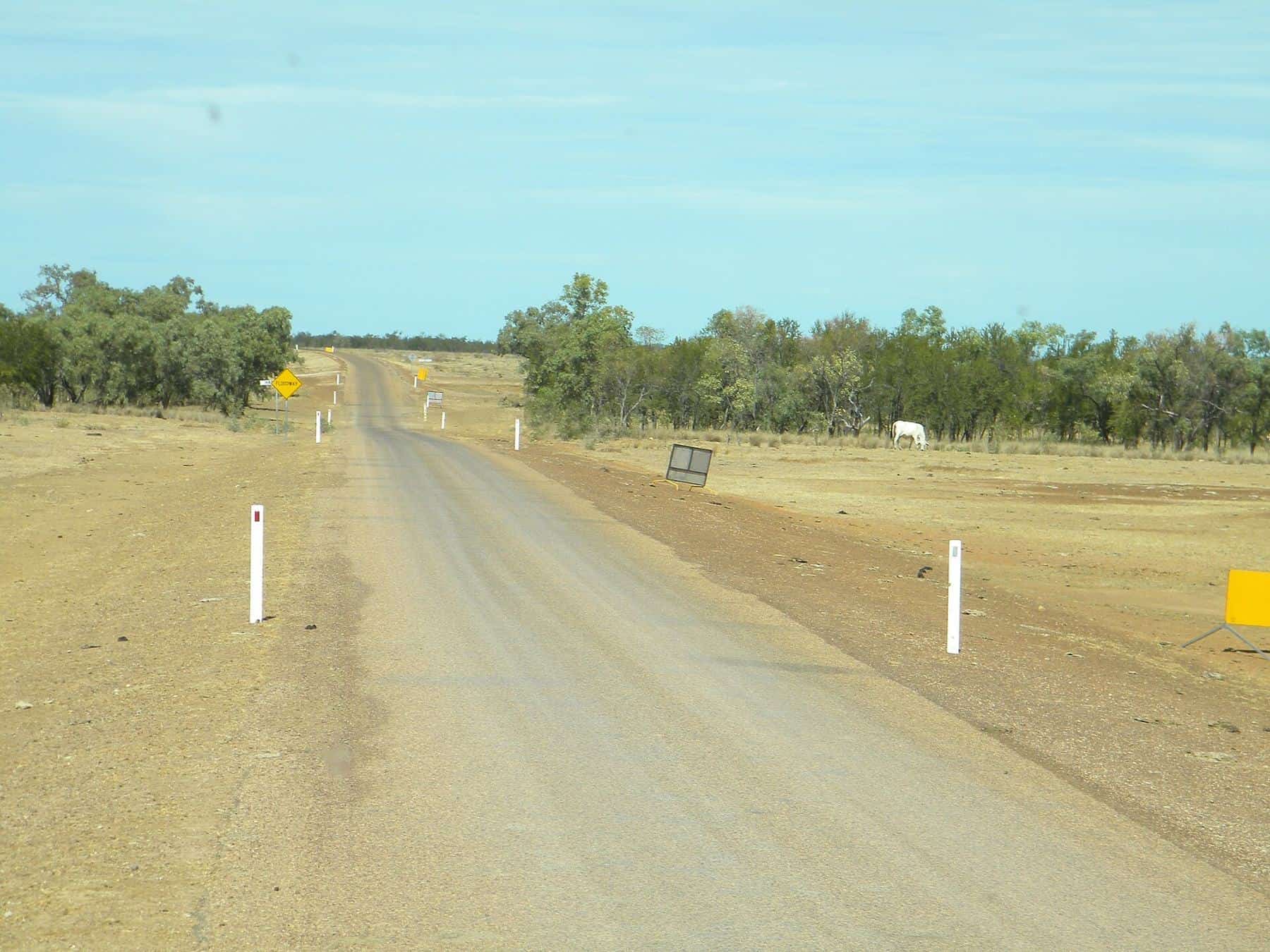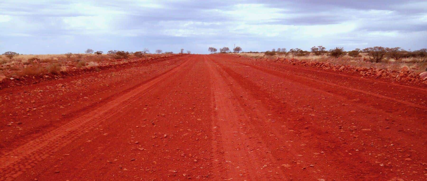
The Gibb River Road runs across the Kimberley in Western Australia's far north, between Derby and the Great Northern Highway near Kununurra and Wyndham. Originally built to move cattle from remote stations, it is now one of Australia's best-known 4WD routes, roughly 660 kilometres long, with side tracks to gorges, waterfalls and swimming holes.
~660 km
Main route
Derby to near Kununurra
Dry season
Open
Roughly May to October
4WD
Vehicle
High clearance
1 week+
Time needed
Longer is better
When to go
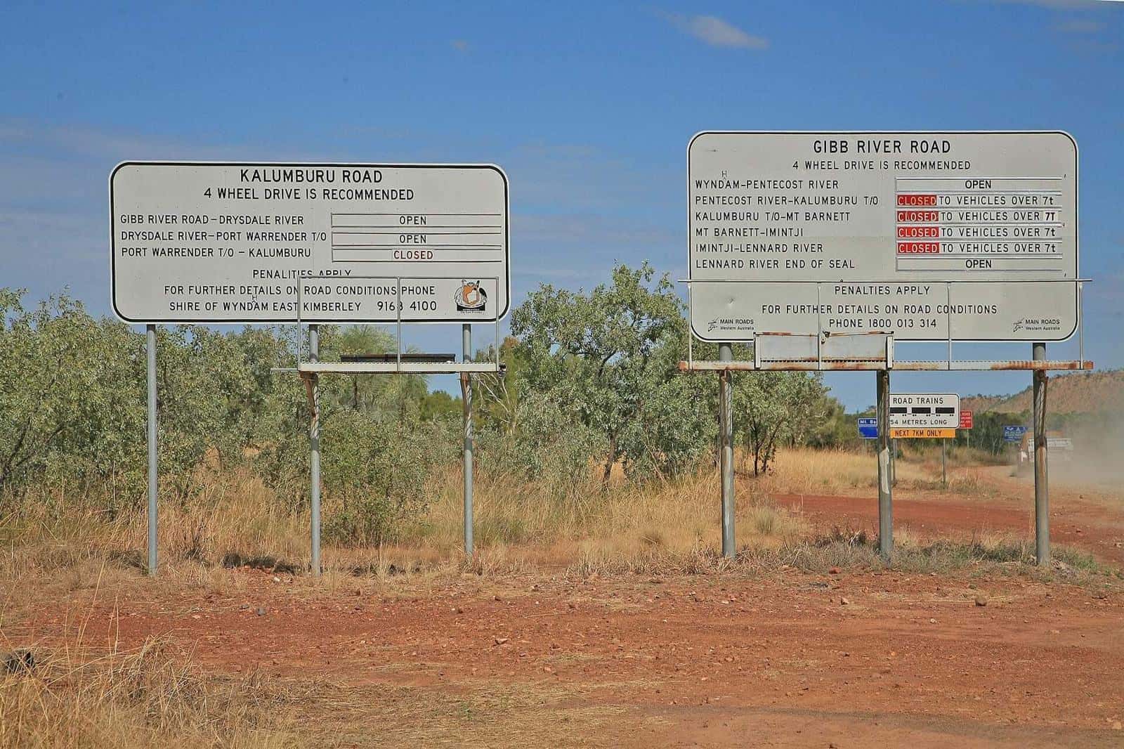
The Gibb is a dry-season route. Roads typically open after the wet, once they have dried out and been graded, and close again when the rains return. Early in the season, waterfalls are fuller and river crossings deeper. Later in the season, roads can be heavily corrugated and some waterholes dry up. Check Main Roads WA road condition reports before and during your trip.
Vehicle and equipment
- A high-clearance 4WD is strongly recommended.
- Carry two spare tyres, tools and a tyre repair kit.
- Lower tyre pressures appropriately on corrugations and reinflate on sealed roads.
- Carry recovery gear and know how to use it.
- Check that your hire agreement permits the route.
River crossings
The main crossing, the Pentecost River near the eastern end, can be deep early in the season. Never enter water without checking its depth and current. Crocodiles live in Kimberley waterways, so do not walk crossings to check depth where crocodiles may be present.
Highlights
Windjana Gorge and Tunnel Creek
Near the western end, Windjana Gorge cuts through an ancient Devonian reef, and freshwater crocodiles are often seen. Tunnel Creek is a cave system you can walk through, carrying a torch and expecting to wade.
Bell Gorge
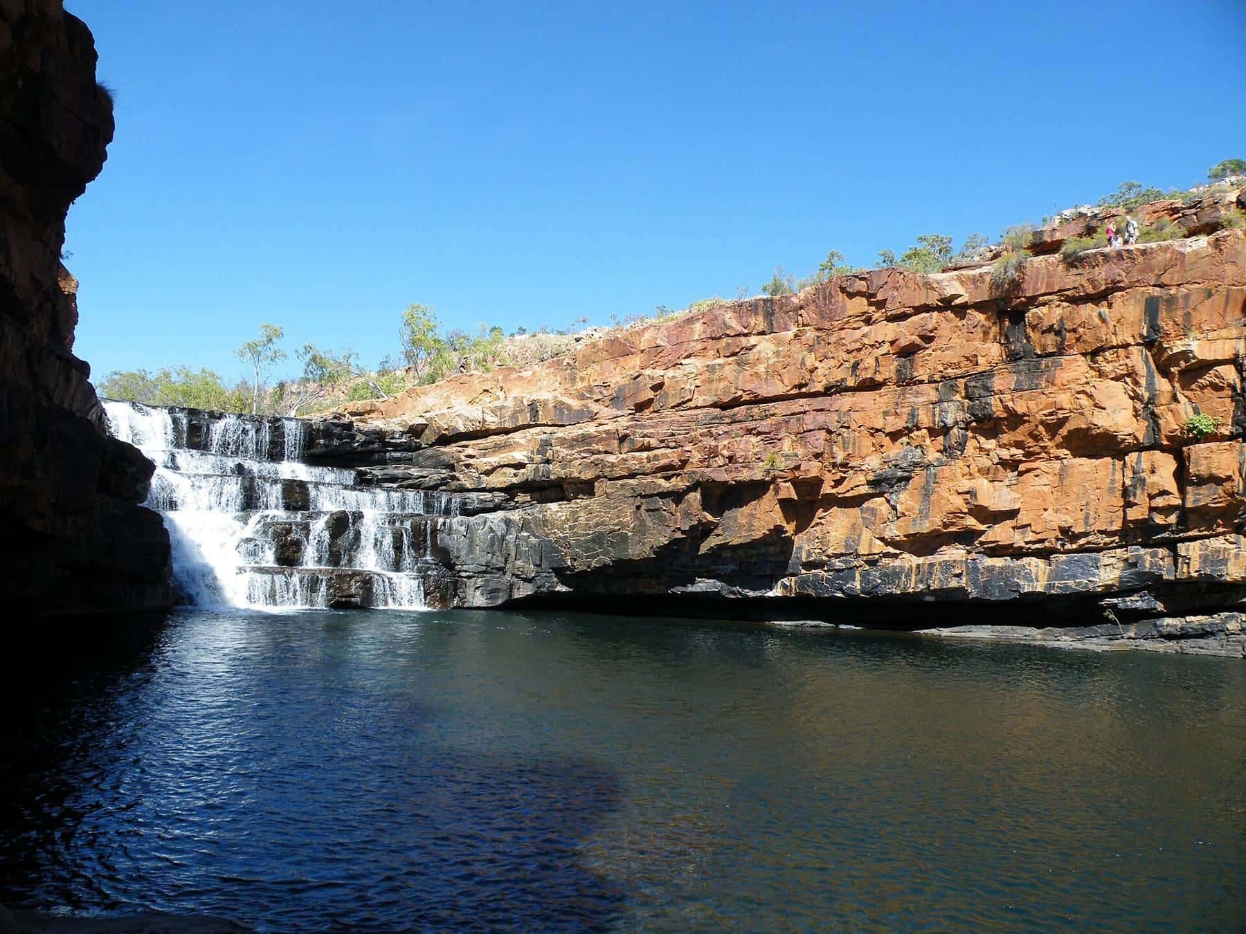
Bell Gorge has a beautiful waterfall and swimming hole, accessed from a side track. It is one of the most popular stops.
Manning Gorge, Galvans Gorge and more
Stations and campgrounds along the road give access to further gorges and waterholes. Some charge access or camping fees.
El Questro and the eastern Kimberley
Towards the eastern end, the landscape opens up with views of the Cockburn Range and the Pentecost River.
Fuel, food and supplies
Fuel and supplies are limited. Roadhouses and stations sell fuel at times, but supplies can run low and opening hours vary. Stock up in Derby or Kununurra, carry extra water and food, and plan fuel stops carefully.
Parks and permits
Some parks along the route charge entry or camping fees, and some areas are Aboriginal land requiring permits. Check with Parks and Wildlife Service WA and local land councils.
Safety
- Heat: even in the dry season, days can be hot.
- Crocodiles: obey signs and never swim where crocodiles may be present.
- Remoteness: mobile coverage is very limited. Carry a PLB or satellite communicator.
- Breakdowns: stay with your vehicle.
Read remote travel safety.
Mitchell Plateau and side trips
Side tracks lead to the Mitchell Plateau and Mitchell Falls, and to the Kalumburu Road. These are rougher and more remote than the main road, and may need permits.
Gibb River Road checklist
0 of 7 done
Ticks are saved in this browser only.
Combining routes
The Gibb is often combined with the Savannah Way, Broome and the Bungle Bungles in Purnululu National Park. Read the Savannah Way.
Station stays and camping
Working cattle stations along the Gibb River Road offer camping, cabins and homestead accommodation, and many give access to gorges on their land. Staying on a station is a great way to experience Kimberley life. Popular campgrounds fill quickly in the peak of the dry season, so plan ahead and arrive early. Some sites require bookings.
Driving on corrugations
The Gibb is famous for its corrugations, the washboard ridges that form on unsealed roads. They can rattle a vehicle to pieces and cause loss of control if taken too fast. Reduce tyre pressures as advised for your vehicle, slow down, secure your load and check your vehicle regularly for loose parts. Dust is another hazard: turn your headlights on, keep well back from the vehicle in front, and slow down when visibility drops.
Respecting Country
The Kimberley is the Country of many Aboriginal peoples, and their culture is woven through the landscape, including rock art sites. Some places are restricted or closed for cultural reasons. Respect signs, ask before photographing people, and follow permit requirements. Guided cultural tours offer a deeper understanding of the region.
Before you go
Road status, fuel availability and campground openings change through the season. Check Main Roads WA, park alerts and station websites shortly before you leave, and again in Derby or Kununurra.
Frequently asked questions
Can I tow a caravan on the Gibb River Road?
Only off-road caravans and campers built for rough roads are suitable. Standard caravans are not recommended on the Gibb.
When is the Gibb River Road open?
It is generally a dry-season route, roughly May to October. It closes or becomes impassable during the wet season. Check Main Roads WA for current status.
Do I need a 4WD for the Gibb River Road?
Yes. A high-clearance 4WD is strongly recommended, and most hire companies require one with permission for the route.
How long does the Gibb River Road take?
Allow at least a week, and ideally longer, to visit the gorges and side tracks.
Are there crocodiles on the Gibb River Road?
Crocodiles live in many Kimberley waterways. Never swim where crocodiles may be present, and follow signs and local advice.
Is there fuel on the Gibb River Road?
There are limited fuel stops at roadhouses and stations. Plan carefully and carry extra fuel if needed.
Sources and further reading
Facts on this page were checked against these primary and official sources. Conditions change — confirm before you travel or buy.
- Road conditions — Main Roads Western Australia
- Kimberley parks — Parks and Wildlife Service WA
- Gibb River Road — Tourism Western Australia
- Crocodile safety — Department of Biodiversity, Conservation and Attractions WA